Cupertino Active Transportation Plan Interactive Map — Bicycle Projects
The ATP recommendations webmap is closed to comments, which will now be used to inform the Draft Plan. The webmap is being preserved for public viewing of input shared.
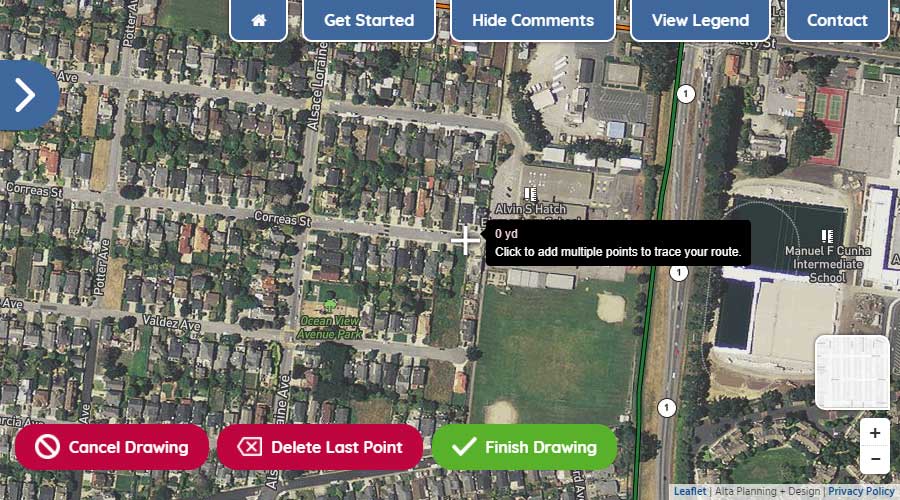
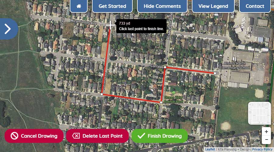
See the visual glossary for details about different walking & rolling facilities. You can comment multiple times on this map.
You can also turn on and off layers from our Bicycle Level of Traffic Stress and Pedestrian Level of Traffic Stress analysis (shown in the legend) to compare our project recommendations against existing conditions.
A green bar appears next to a layer in the legend when the layer is visible.
The existing bicycle network can be turned on as a layer in the legend.
To view the pedestrian recommendations, click on the button in the top right of the map.